About
In the last decades submesoscale ocean currents with extensions in the order of 1000 m have been a focus of investigation in physical oceanography. While oceanographic processes happening at the mesoscale (100 km), or greater scales, are considered to be uniform and horizontally homogeneous, at submesoscale ocean processes are highly heterogeneous due to the abrupt increase in vertical velocity. Processes at these scales have direct implications for primary productivity and vertical transfer of nutrients, as well as for vertical carbon mix into the deep ocean, with direct impact on climate change.
Sampling the ocean through high-resolution synoptic data is challenging and requires specific oceanographic campaigns capable of sampling at multiple scales. Due to these challenges, most of our understanding about the ocean process happening at these scales are based on high-resolution numerical models, which are run in large-scale computational infrastructures.
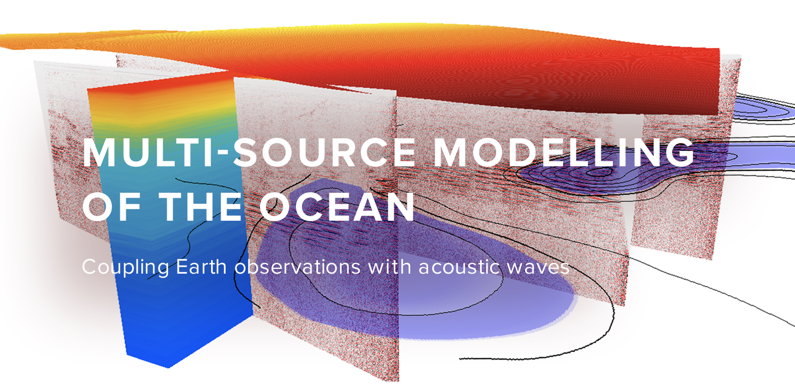
Seismic Oceanography (SO) uses multichannel reflection seismic (MCS) data to acquire high-resolution static information from the thermohaline circulation. The quasi-synoptic nature of these data allows us to understand the relationship between fine-structure thermohaline and large-scale oceanic processes, making it possible to study aspects of oceanic dynamics whose current knowledge is limited.
MMO proposal aims to explore current knowledge of this exciting line of investigation through the integration of information from multiple sources to build 3D ocean models. This proposal exploits the unique synergy between spatial data science methods, geophysics, scientific machine learning and computational mathematics.
The project will develop advanced machine-learning-assisted computational methods and geophysical inversion to obtain an oceanographic interpretation of this region. This will allow us to gain insight into the interaction between the flow of water masses with emphasis on the description of the Mediterranean Outflow Water and its potential impact in global scales, which are otherwise hidden.
The combination of information from different sources is non-trivial and aims at generating high-resolution 3D ocean models through a generalized spatial relationship between the three data domains (i.e., SO and satellite data and ocean models).
MMO will pave the way for new modelling and observation tools for the study of the ocean.


