FINDER
About
Completed
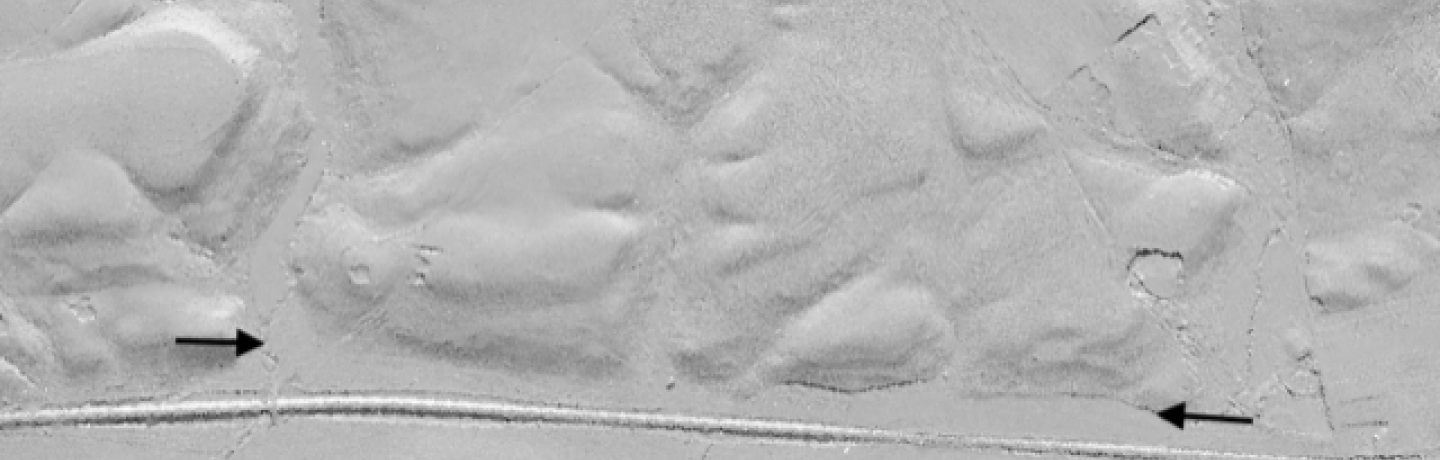
Project FINDER aims to identify and characterize the active trace of the Lower Tagus Valley (LTV) fault zone using a revolutionary and relatively new technique: airborne LiDAR (Light Detection And Ranging). In the first phase of this project, high-resolution LiDAR data will be used to determine the extent, geometry, and segmentation behavior of the LTV fault zone. In the second phase, with the aid of LiDAR imagery, four to six trench sites will be carefully selected for detailed paleoseismic investigation, to analyze evidence for recent deformation, and to assess mean slip rates and earthquake recurrence intervals.
Keywords
Natural and Technological Hazards
Start Date
CERENA Role
Coordinator
Coordinator/Local PI

Former Member
iFCT
CERENA Team
Proponent Institution
CERENA / IST, Portugal
Partners
FCUL- Faculdade de Ciências da Universidade de Lisboa
Funding Programme
FCT project PTDC/CTE-GIX/113866/2009
Total Funding
180 000,00 €
CERENA Funding
172 880,00 €