About
Completed
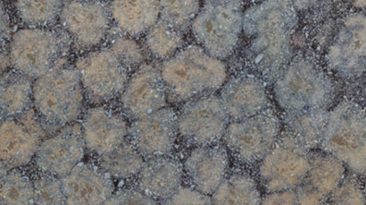
| The main objective of this project is the mapping and monitoring of areas densely occupied by sorted stone circles in Maritime Antarctica using ultra-high resolution images captured by UAVs. The higher detail and larger extension of the areas covered contribute to a much better geomorphic description of this type of patterned ground and to a better understanding of the associated dynamic processes related to past climates. The study sites are located in Fildes and Barton Peninsulas (King George Island) where sorted stone circles are ubiquitous. |
Keywords
Environment
Remote Sensing
Start Date
CERENA Role
Coordinator
Coordinator/Local PI
Former Member
iFCT
CERENA Team
Proponent Institution
CERENA, Portugal
Partners
IGOT - Instituto de Geografia e Ordenamento do Território, Universidade de Lisboa
INACH - Instituto Antártico Chileno, Chile
KOPRI - Korean Polar Research Institute, South Korea
Funding Programme
PROPOLAR 2016/2017; PROPOLAR 2017/2018
Total Funding
80 000,00 €
CERENA Funding
80 000,00 €


