ALTITUD3 - Assessment of Low-cost Aerial Intelligent systems for natural Terrain 3D mapping
About
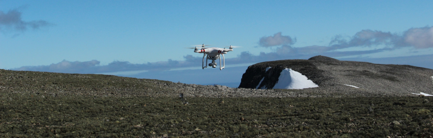
3D modelling of terrain and vegetation structure is essential in several environmental applications, and in industries such as agriculture or mining. Recently, small unmanned aerial vehicles (UAV) started to be used as LiDAR and photogrammetric platforms to provide high resolution representations of the terrain surface. Project ALTITUD3 aims at
(i) assess and optimize UAV acquisition field practices and image and pointcloud processing methods, for generation of accurate 3D models; and
(ii) compare the potential and limitations of UAV-based photogrammetric "Structure from Motion" and LiDAR technology (acquired from UAVs or manned aircraft), taking into consideration factors such as cost, field logistics, and quality of data. A most innovative aspect of the project is the incorporation of artificial intelligence methods into the processing, to better distinguish diverse parts of the modeled surface, such as vegetation and terrain, and improve the applicability of the technology.
Coordinator/Local PI